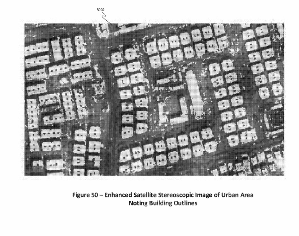
Zonal Systems has recently been granted a 5th patent‘ to identify zones on maps using interactive markers. This facilitates the discovery of the zone and enables electronic cartographers to add a layer of zonal information to private or public maps. Why own virtual space if you don’t geo-fence to control its use ? Why not geo-control hyper-local crypto transactions with an interactive zone ?
Zone information can be retrieved via screen tap, voice command or automatically via proximity. This methodology applies to mapping and accessing stationary zones – around a store, building or neighborhood from aerial imagery or geospatial base maps.
Enhanced geo-location service can be obtained by using geo-located Wi-Fi access points, basically routers whose location is fixed to a known latitude and longitude, associated with a survey monument or a property survey. We call this feature a GWAP – Geo-located WiFi Access Point. When done with a UWB chip, we can do micro zones to 10 cm resolution.
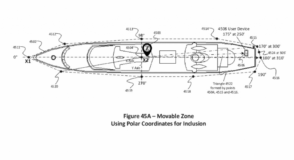
It also applies, with the help of advanced indoor geolocation systems, to the creation and access of moveable zones – around boats, trains, buses, planes and automobiles. Why zone a boat ? Would help if gambling at a pier. But a micro-zoning a car, bus or train a bit more likely.
Please contact us for more information.
Using interactive markers to locate interactive zones on a map


